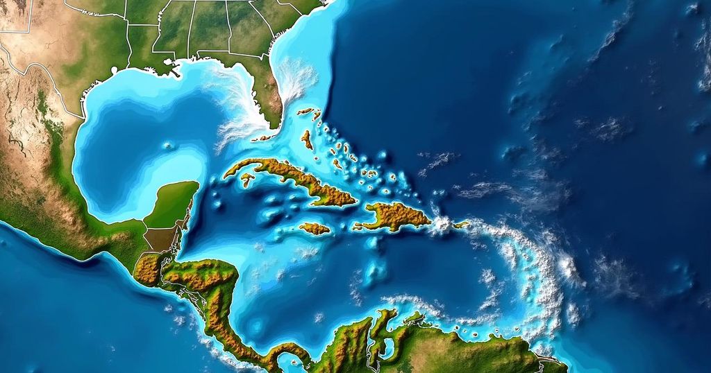
Tropical disturbance Invest 94L is being monitored as it nears the northeastern Caribbean, with limited development expected in the short term. Improved conditions may arise by Friday, allowing increased chances for tropical formation. Residents in affected areas are urged to stay informed, while Florida appears to be out of danger.
In the upcoming days, tropical development in the region near the northeastern Caribbean remains unlikely due to an inhospitable atmosphere characterized by dry air. However, as this particular weather system, designated as Invest 94L, advances towards the northeastern Caribbean islands around Friday, conditions are projected to become more favorable for development. Currently tracking westward through a challenging environment in the middle of the tropical Atlantic, Invest 94L is experiencing a lack of thunderstorm activity because of the prevailing dry air. While the next few days will see limited chances for development, forecasters anticipate improved atmospheric conditions as the system approaches Puerto Rico and its neighboring islands. It is atypical for a tropical disturbance originating from Africa to reach the Caribbean during this time of year due to cooling ocean waters, unfavorable upper-level winds, and the influence of the jet stream. Nevertheless, an unusually warm ocean surface, coupled with a high-pressure bubble residing just north of the system, has contributed to this unexpected trajectory. Recent satellite imagery indicates the emergence of some towering thunderstorms near the disturbance’s center, suggesting increasing activity within the system. The National Hurricane Center has assigned a medium probability for this system to transition into at least a tropical depression as it nears waters close to Puerto Rico. Consensus among computer forecast models points to the system residing in this vicinity by Friday, with varying potentials for intensification ranging from a mere surge in moisture to a well-organized weather system. Following this period, it is expected that the steering currents will weaken, allowing the disturbance to drift near Puerto Rico, the Dominican Republic, Haiti, or the southeastern Bahamas, thus posing potential impacts from tropical storm or hurricane conditions. It is important to note, however, that with less definitive steering flows, the uncertainty surrounding the track of the system increases. Consequently, it is advisable for residents of Puerto Rico, the Virgin Islands, Hispañola, the southeastern Bahamas, and surrounding areas to remain vigilant and informed throughout the week. Fortunately, there is no immediate threat to Florida. A cold front across or near South Florida, along with a break in the jet stream over the Bahamas, is likely to deter tropical systems from approaching the state. In summary, as predictions regarding the development and trajectory of tropical systems inherently carry a degree of uncertainty, close monitoring of Invest 94L will continue as it moves through the Atlantic.
The current tropical disturbance, known as Invest 94L, is under observation as it progresses through the Atlantic Ocean. Typical assessments of such disturbances involve evaluating atmospheric conditions, moisture levels, ocean temperatures, and wind patterns to gauge the likelihood of development into more significant systems. This period of the year generally witnesses a cooling trend in ocean temperatures and increasing hostility in upper-level winds, making the development of such systems unusual. With this disturbance’s trajectory and behavior deviating from expected patterns, meteorologists provide updates to guide affected residents appropriately.
In conclusion, while Invest 94L currently shows limited development potential due to unfavorable atmospheric conditions, there is a chance for improvement as it approaches the northeastern Caribbean. The system’s movement will continue to be monitored closely, especially for residents in the vicinity of Puerto Rico and surrounding islands, as potential impacts cannot be dismissed. No immediate concerns exist for Florida at this time, but continued observation is warranted.
Original Source: www.foxweather.com